|
|

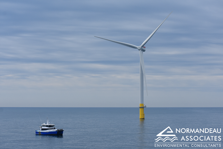
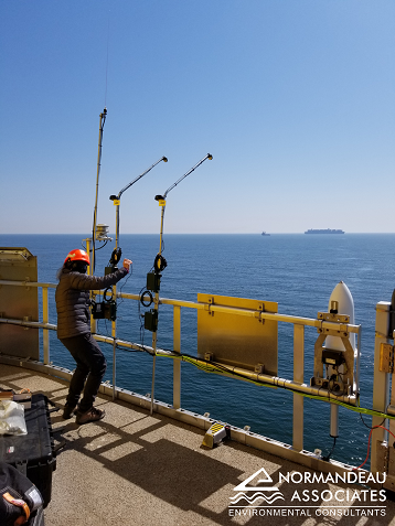
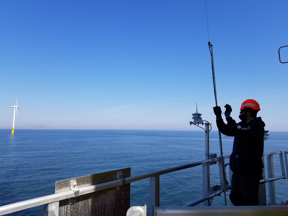
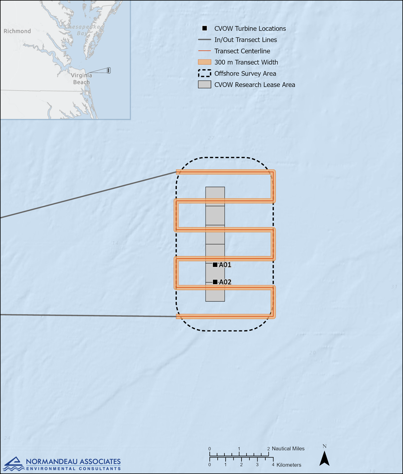
Figure 1. Location of the two CVOW Pilot Project turbines showing the boat-based transect pattern used for postconstruction surveys
|
Project Purpose Dominion Energy, on behalf of the Virginia Department of Mines, Minerals, and Energy, has developed the Coastal Virginia Offshore Wind (CVOW) Pilot Project in federal waters 24 nautical miles (43 kilometers) off the coast of Virginia (Figure 1). In 2019, Dominion contracted Normandeau Associates, Inc. to provide postconstruction monitoring for the CVOW Pilot Project. In 2021, Normandeau's Acoustic and Thermographic Offshore Monitoring (ATOM™) systems were deployed on platforms underneath the two CVOW Pilot Project offshore wind turbines. They collected thermographic and natural light imagery within the rotor swept zone (RSZ) and the vicinity of the wind turbine 24/7 during the monitoring period. Additional ATOM™ sensors included bird and bat acoustics and VHF/MOTUS Nanotag receivers and antennae. In 2022 and 2023, an ATOM™ system remained fully-active monitoring one of the turbines for the entire years 24/7, and only a VHF/MOTUS Nanotag receiver and antennae was kept installed at the other turbine. In 2024, all ATOM™ sensors were removed from turbines except for the VHF/MOTUS Nanotag receiver and antennae. Normandeau also conducted six boat-based surveys every other month during the first year of operations using a transect design (Figure 1). This Dominion CVOW ReMOTe site is Normandeau's data management, analysis, and reporting center for the Dominion CVOW project, providing updated information of acoustic and VHF/MOTUS detections. ReMOTe provides access for image analysts to review animals found in thermographic (Figure 2) and visible light (Figure 3) video data. It also provides results for the following components of the Dominion postconstruction monitoring:
|
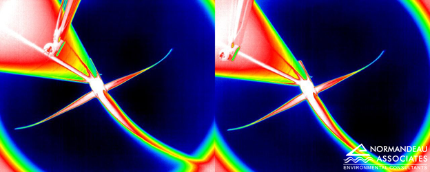
Figure 2 Thermographic stereo images of RSZ collected by the ATOM™ system at the CVOW Pilot Project
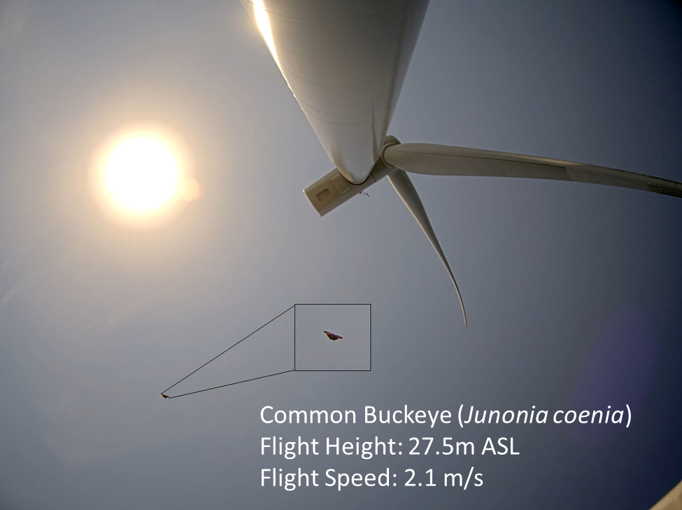
Figure 3 High definiton visible light image of RSZ captured by the ATOM™ system at the CVOW Pilot Project showing animal identification, flight height, and flight speed
|
.jpg)